
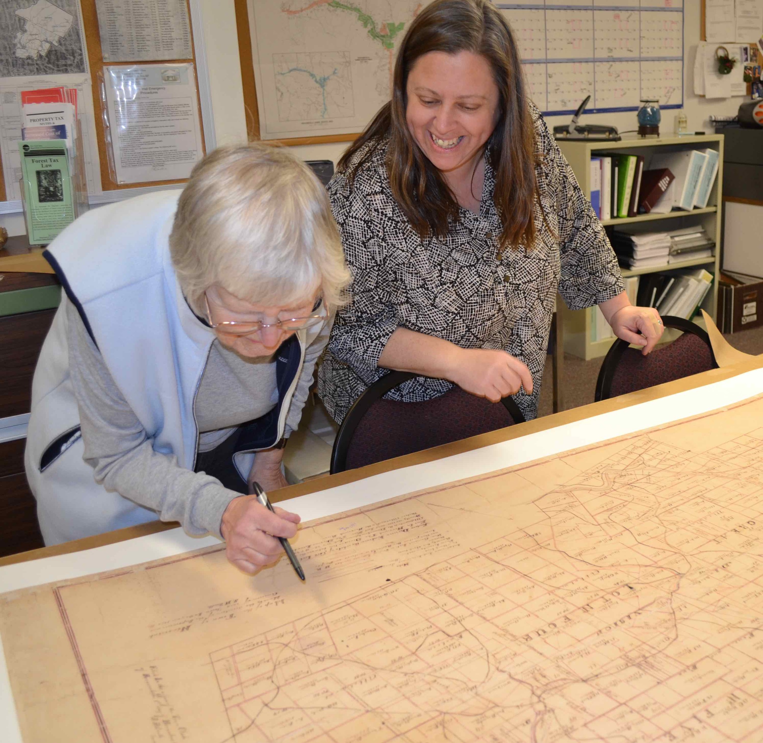
Archival conservation of historic late 19th century Town of Neversink map with land parcels and rivers (SMIP).

Local Flood Hazard Mitigation Analysis: Hydraulic Model for Upper Neversink River, Claryville & Denning

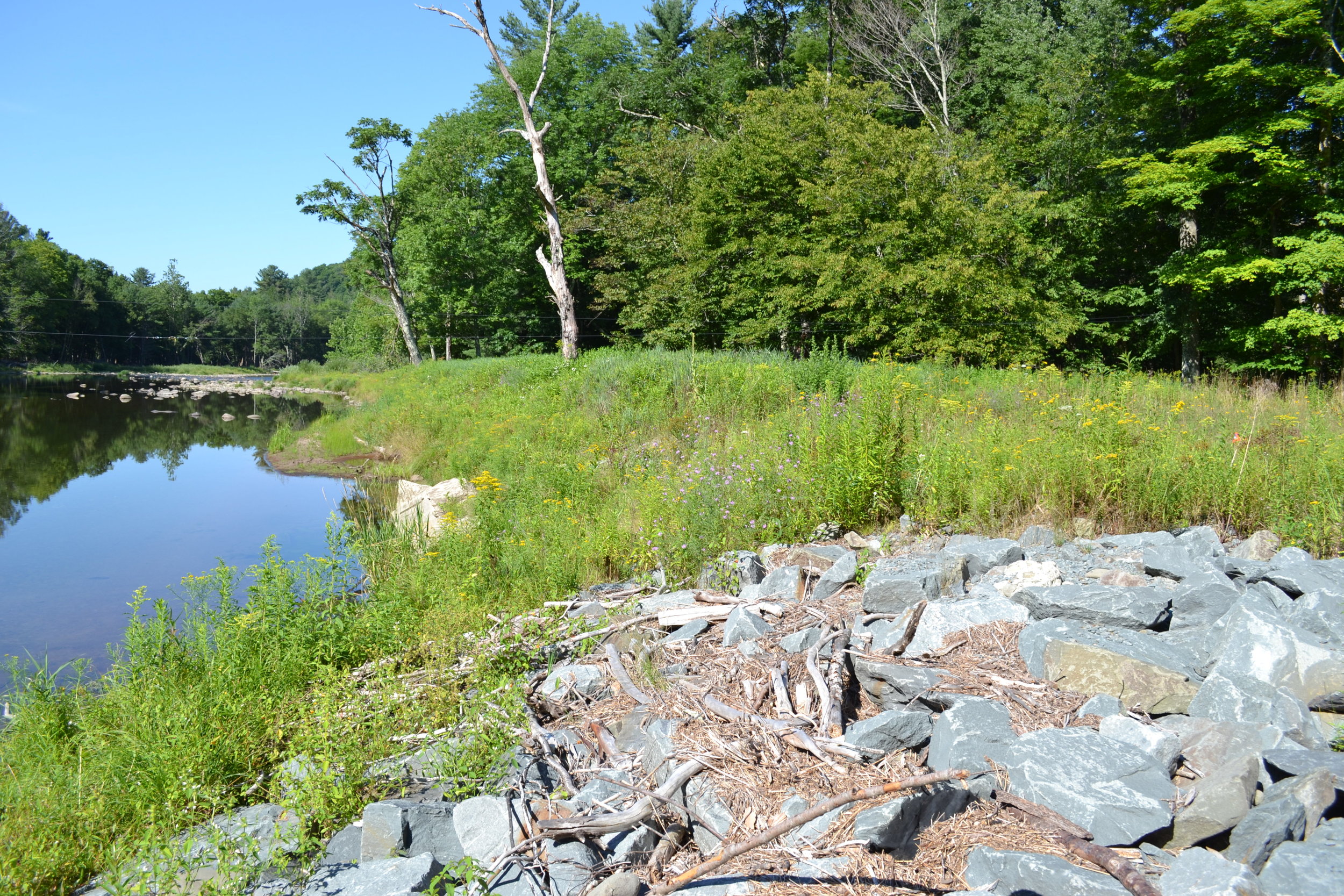
Streambank Stabilization Denning Road and New Road Hill Bridge E.Branch Neversink (SMIP/CSBI)

Open Grate Culvert Replacement at Erts Brook confluence with E. Branch Neversink River (SMIP/CSBI)
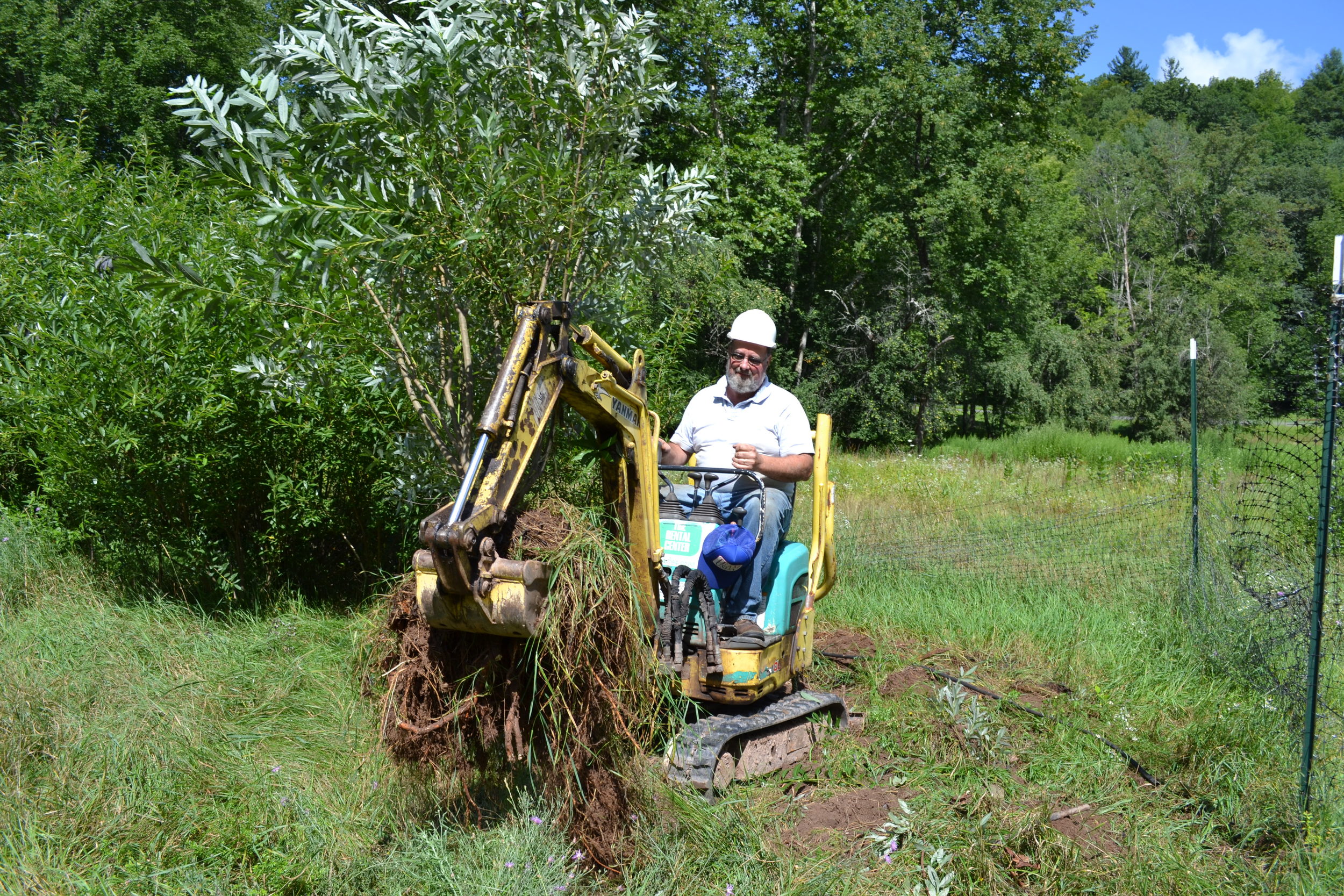
Willow Clump Harvest at ball fields along Rondout Creek (CSBI)
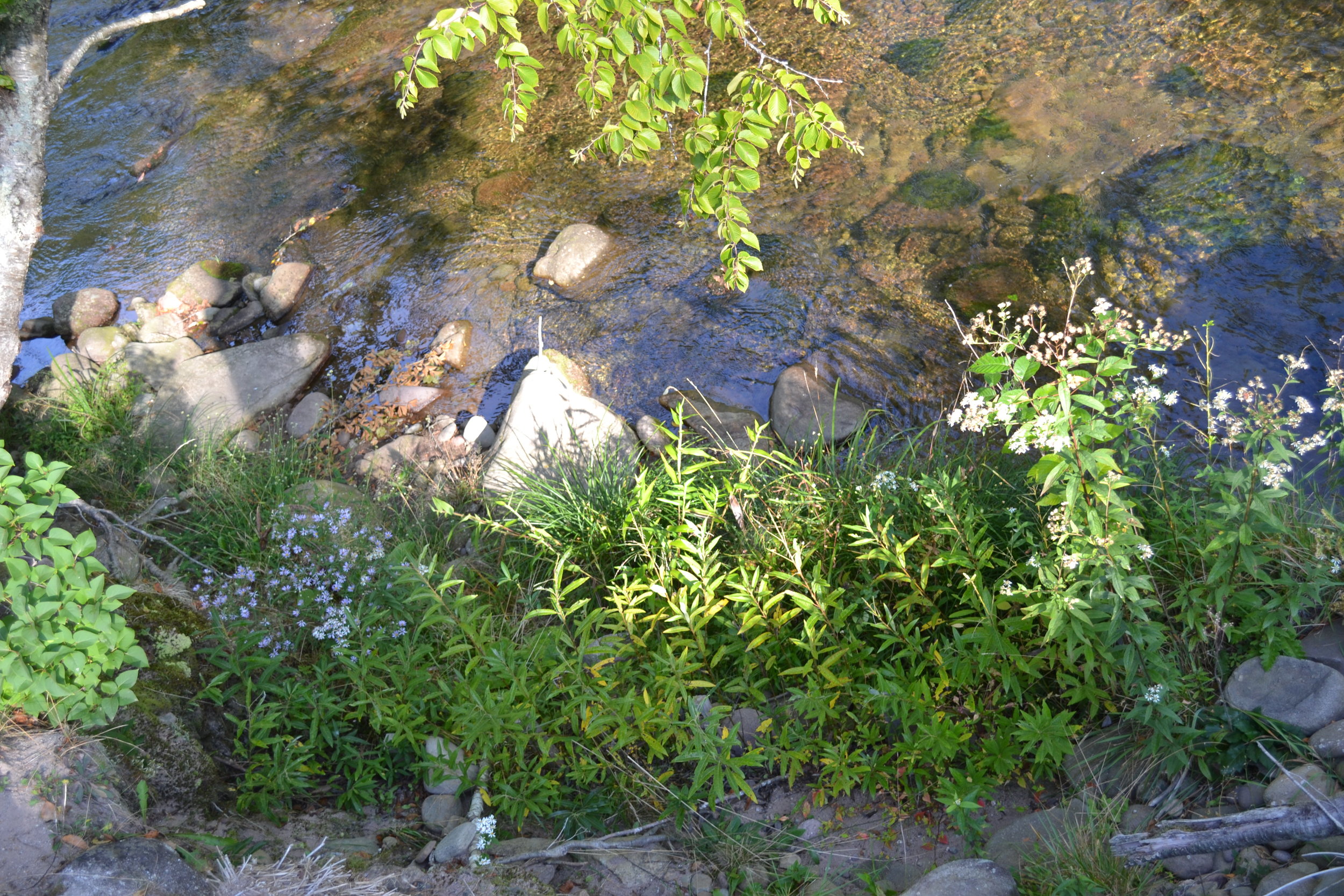
Willow Fascines and Riparian Buffer Planting at Rio Alto Property, E. Branch Neversink (CSBI)
Riparian Buffer Planting at Halls Mills Covered Bridge, Main Stem Neversink River (CSBI)

Former House Site Converted to Riparian Buffer Main Stem Neversink River